Search Term Record
Metadata
Search Term |
Places |
Related Records
-
-
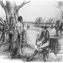
2-248 - Sketch of Grapevine Spring
This is one of several skethes prepared by Sue McGiboney or the bi-centennial celebration. It shows Sam Houston with the Indians at Grapevine Springs. (P Wilson, resident, 12/13/01)
Record Type: ALL PHOTOS
-
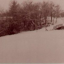
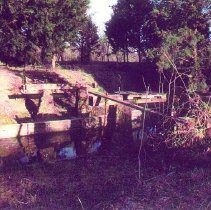
2-361 - Remains of bridge over creek.
Definitely one of the remains of the bridge in Grapevine Springs Park, before restoration.
Record Type: ALL PHOTOS
-
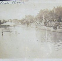
2-477 - Glen Rose
This is assumed to be Glen Rose, Texas located southwest of Fort Worth. It is possibly Wheeler Branch Reservoir. (P. LaBerge, resident, 9/8/2020)
Record Type: ALL PHOTOS
-
-
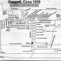
2-693 - Map of Coppell, circa 1930
This map was compiled by Jean Murph from interview. Original hand-drawn map made by Pete Wilson. Published in the Citizen's Advocate. (P. Wilson, resident, 8/18/11)
Record Type: ALL PHOTOS
-
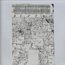
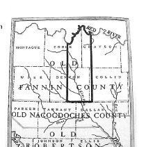
2-706 - Map of early Red River counties
Peters Colony map. (P Wilson resident)
Record Type: ALL PHOTOS
-
2-795 - Map of Coppell's location to Dallas
Map of Coppell Road, 1930. (P. Wilson, resident)
Record Type: ALL PHOTOS
-
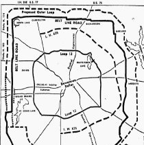
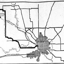
2-796 - General map of Dallas with major highways surrounding
Belt Line Rd. (P. Wilson, resident)
Record Type: ALL PHOTOS